
Tracking Your Flight Lesson
Tracking Your Flight Lesson
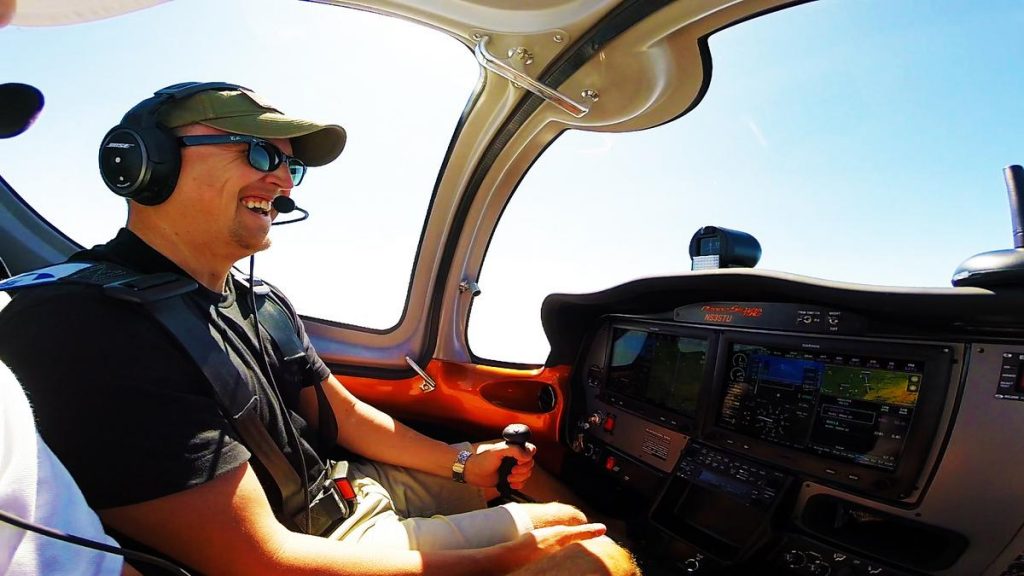
Seeing where you flew, how high, and how precise you are flying can be great feedback for students and experienced pilots alike. Check out the above video (feel free to scroll through it) to see what that data looks like overlayed on maps or in a video. Now with technology, it can be pretty simply to do just that and map out exactly where you went along with tons of other useful data such as:
- Speed
- Altitude
- Heading
- G-forces
- Temperature
- Etc
How can you track all this information?
Here’s the good news! Most of your newer cameras already have this function available if GPS is installed, and all cellphones have this ability with their built-in GPS and accelerators. How do you capture the GPS data? Simply download a free GPS data logger app to save the GPS data. It will save in different file formats depending on what app you have, but CSV or KML are pretty universal.
![]()
What can you do with this data?
Want to check out your S turns or turns about a point? Import the data as a KML file into Google Earth. Want to overlay the info in a video? Download the data into a racing software for track drivers (free from Google, like dashware). This is great data to have from each of your flights to debrief with a flight instructor afterwards on the ground, or to debrief yourself on when flying solo!
What do I do with this data?
I like to make a bet with students I work with preparing for their checkrides. We’ll take off and record the data. Once we land we’ll download the data to Google Earth and see how the turns about a point, s-turns, and rectangular patterns went (remember all the GPS data is ground track data). I usually offer to pay for the A/C rental for when the student goes for their checkride, less 1/3 for each one of the three tasks that don’t look so great on the map. Helps get the students under a little pressure to perform!
Share with US!
What do you like to use this data most for???
Check out the FLY8MA Youtube Channel to see some of our other videos using GPS overlay data!
Responses